
Drone video · aerial photos · 3D scans · Netherlands, Croatia from 2027
Walk your land, wherever you are.
Drone video, aerial photos and a photorealistic 3D scan of your home or land. Open the link on your phone: turn, zoom, measure and share it with anyone.
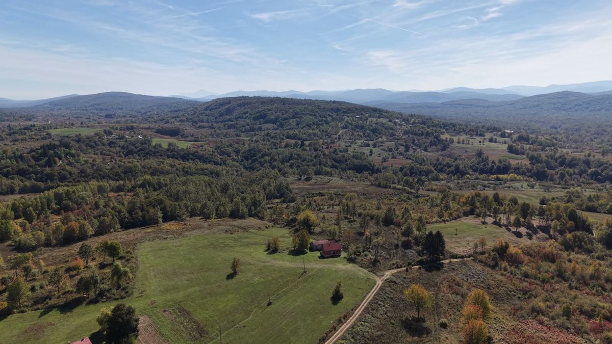
One flight, a model you keep using
Buyers from abroad
See the slope, the access road and the neighbours before you travel.
Sellers and estate agents
A home or building plot that buyers explore themselves, next to your listing photos.
Farmers and landowners
An up-to-date overview of fields, ditches, fences and barns, with measurements you take yourself.
Architects and garden designers
The real context before the first sketch: height differences, trees, sight lines.
Construction progress
Scan monthly and compare, without driving to the site.
Campsites and estates
A 3D tour of the whole grounds for your website, and a dated record of their condition.
Fixed prices
Incl. 21% VAT · first 40 km includedMeasurements are indicative (a few percent margin) and don't replace a land-registry survey.
Questions
What is a 3D scan of my land?
A photorealistic 3D model built from thousands of drone images. Grass, trees, water and roofs look real from every side, and you move around it freely in your browser.
Do I need an app?
No. You get a private link that opens in Chrome, Safari or Edge on a phone, tablet, laptop or VR headset.
Can I measure in the model?
Yes: distances, areas and heights, within a few percent. Enough for a garden design, a fence, an extension or a buying decision, but not a land-registry survey.
Where do you fly?
Across the Netherlands now, and from 2027 in Croatia too. Every address is checked against the official drone map before I quote.
Can I get it printed?
Yes. Any scan can become a printed scale model for your desk. See 3D Print.
Get a price
Tell me about the land. You get a fixed price.
Location, rough size and what you need it for. Usually answered the same day.